SkyMZL
Revolutionizing aerial solutions with state-of-the-art drone technology in Colombia.
Book a Flight Now!Revolutionizing aerial solutions with state-of-the-art drone technology in Colombia.
Book a Flight Now!Professional aerial solutions tailored to your project needs.
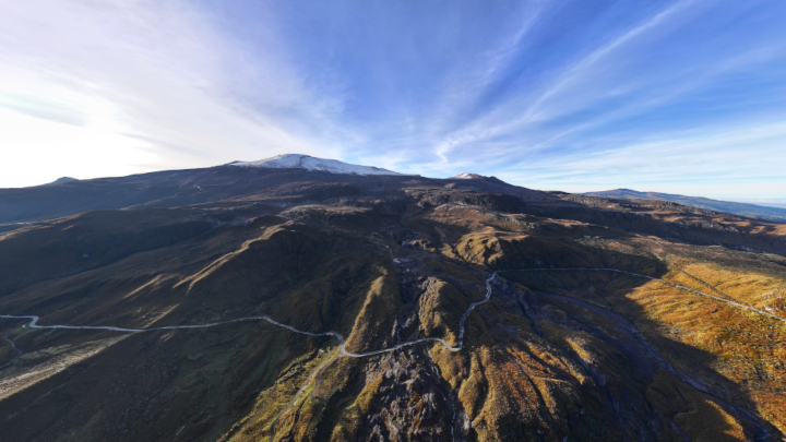
Capture stunning aerial images and videos for real estate, corporate events, weddings, and more.
Request a quote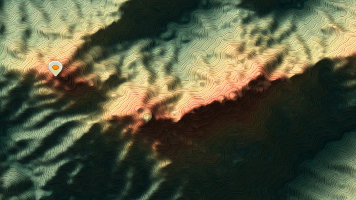
Accurate land surveys and mapping for construction, precision agriculture, and mining operations.
Request a quote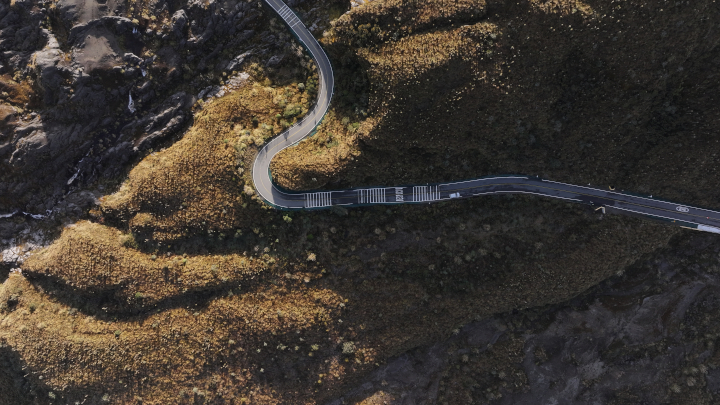
Optimize your flight processes with our custom SDKs and artificial intelligence solutions.
Request a quote
Cinematic FPV drone videos that flow smoothly through properties, creating immersive walk-throughs perfect for real estate marketing.
Request a quoteExplore some of our most outstanding projects.
We combine cutting-edge technology with professional expertise.
Our operators hold official certifications and liability insurance for your peace of mind.
State-of-the-art DJI equipment with 4K cameras and high-precision sensors.
Professional results delivered in record time without sacrificing quality.
Tell us about your project and we'll send you a personalized quote.
We're available to answer your questions and help you choose the perfect service for your needs.